Geospatial Imaging
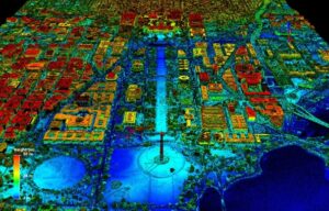
Geospatial imaging refers to the process of acquiring, analyzing, and interpreting data related to the Earth’s surface and its features using various imaging technologies to
![]()
![]()
Geospatial imaging refers to the process of acquiring, analyzing, and interpreting data related to the Earth’s surface and its features using various imaging technologies to