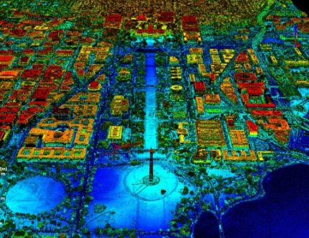
Geospatial imaging refers to the process of acquiring, analyzing, and interpreting data related to the Earth’s surface and its features using various imaging technologies to capture this data. While many applications require the use of Depth Sensing technologies to create a point map of the surrounding, there are use cases which benefit from visible or Near infrared imaging.
Geospatial technologies enable the visualization and understanding of spatial patterns, environmental changes, and geographical phenomena with precision. Geospatial imaging finds applications in diverse fields including urban planning, environmental monitoring, agriculture, disaster management, and navigation.
By providing detailed insights into the Earth’s surface, geospatial imaging plays a crucial role in decision-making processes, resource management, and scientific research, ultimately contributing to a better understanding and management of our planet’s complex systems. Some common use cases within Geospatial imaging include Total Stations, Mobile Mapping, Monitoring, Odometry, and Augmented Reality.
Total Stations

Geospatial Total Stations are instruments designed for accurate measurements on Earth’s surface. Beyond merely assessing distances and angles, they enable the ability to capture images and collect comprehensive environmental data.
Lens P/N | Image circle | Efl (mm) | Imager resolution | F/# | Full FOV | Distortion (%) | Optical TTL |
6 | 15.8 | 1.3MP | 2.4 | 22 | 2 | 21.3 | |
6 | 3 | 1.3-2MP | 2 | 170 | -33 f-θ | 20 | |
4.7 | 1.55 | 3 MP | 2 | 185 | -6 f-θ | 20.7 | |
8 | 8.50 | 3-5MP | 3.0 | 52 | -3 | 16.50 | |
7.2 | 7.50 | 5 MP | 2.8 | 55 | -2 | 11.30 | |
6.0 | 3.4 | 5MP | 2.0 | 82 | 1 f-tan | 20.5 | |
7.8 | 7.50 | 12MP | 2.1 | 55 | -1 | 22.00 |
Mobile Mapping
Mobile mapping involves using vehicles or other mobile platforms equipped with various sensors and imaging systems to collect geospatial data as they move through an area. Mobile mapping applications typically require high resolution lenses used to capture a surround view 360-degree FOV using 4-6 lenses. These applications typically require high-resolution sensor and lens combinations to ensure necessary optical quality required for large terrains.


